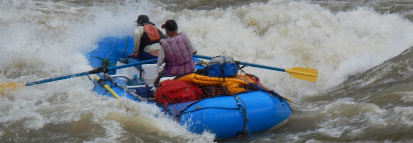
The Rio Lurin is the closest whitewater to Lima and can be run throughout the summer months of January to May
There are three ways to get there from Lima. The first is to follow the Pan American highway to the Southern beaches and follow the river up from its mouth. The problem with this route is that it passes through several Pueblos Jovenes and there are several police checkpoints where they want money to let you pass. The best way is to follow the Northern route through La Molina to Cieneguilla. There is a third route between the other two but I am not sure how to do it.
There are two distinct sections of the river. The lower one is in a canyon and is much more difficult than the upper. This section is a class 5 low water run and should be avoided at medium to higher flows. A possible takeout for the lower run is the town of Cieneguilla at 325 meters. A put in can be Puente Santa Rosa De Chontay which is 13 km upstream or at Puente Balconsillo de Aviyay that is an additional 4 km upstream at 850 meters above sea level. The majority of the action lies between these two bridges.
The upper run is a class 3-4+ run and can be done at higher flows at which time the water is usually brown and ICE cold. The takeout for the upper section is the same as the put in for the lower section (Puente Balconsillo de Aviyay). There is a house at the bridge and it has a Pacay tree. In March the tree has pods with inedible seeds and sweet, white, “cotton candy-like” fruit. To get to the put in drive upstream 7 km and look for what appears to be a reasonable approach to the river (as an option continue upstream to bridge at Antapucro which has elevation of 1000 meters). Be careful on this run of trees. In places the river smashes through islands in the flood plain many of which are filled with both live and dead trees.
After the run try to save some time to visit “La Mesa de Piedra” restaurant in Cieneguilla which serves the local favorite “Pachamanca” which is a combination of meats and vegetables wrap in leaves and cook with hot stones under the earth.
Useful maps: are:
La Molina 1:50,000 1546 25J(IV)
Antioquia 1:50,000 25J(I)

Tienes clases de kayak